In 2009-10, NJSEI implement the latest available tools and technologies at JICA Assisted Agra Water Supply project like DGPS Surveying, Geospatial, Image Processing, Remote Sensing, Hydraulic Management, Web development and Integrated Mobile System for capturing, editing, managing and analysis. It enhances our production, analytical and internal operations during the Project designing and construction phase.
Innovation
NJSEI develop the Geospatial database for the entire Agra Water Supply Project (Agra Municipal Corporation Supply Zones and Palra-Agra Pipeline Corridor) using the 60 CM High Resolution Satellite Imagery in shorter time frame. In 2009, integrated mobile solution was used extensively for the collection of data from field & its update on the real-time basis.
Achievement
The team developed an existing and proposed water asset database; Consumer database performed hydraulic design review in different year’s scenario, and conducted integrated Geospatial Analysis in a collaborative environment, streamlining Hydraulics, Non-Revenue Water (NRW) Works Social Surveys and associated engineering works workflows and processes.
Practice Credentials
NJSEI was selected as “Finalist” Presentation under BIM Advancements in Water & Wastewater Sector during during Bentley’s YII Conference (2013) held at Amsterdam, Netherlands.
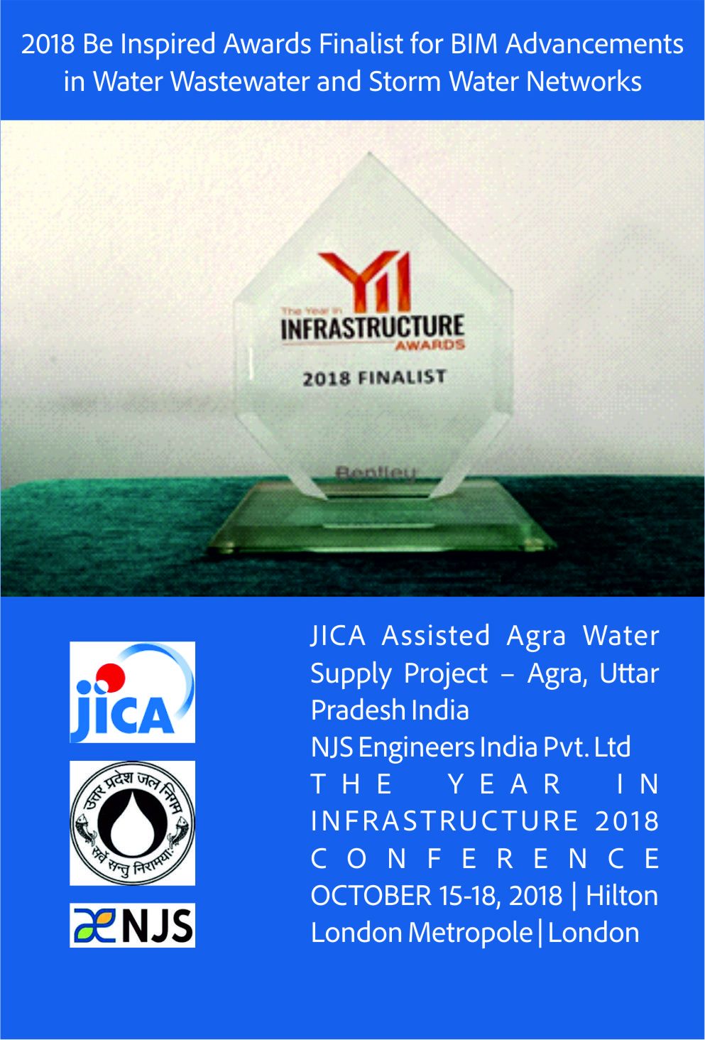
NJSEI was selected as “Finalist” Presentation for BIM Advancements in Water & Wastewater Sector during Bentley’s YII Conference (2018) held at London, UK
For more details, please visit the link:
https://blog.virtuosity.com/njs-engineers-india-p-limited-jica-assisted-agra-water-supply-project
