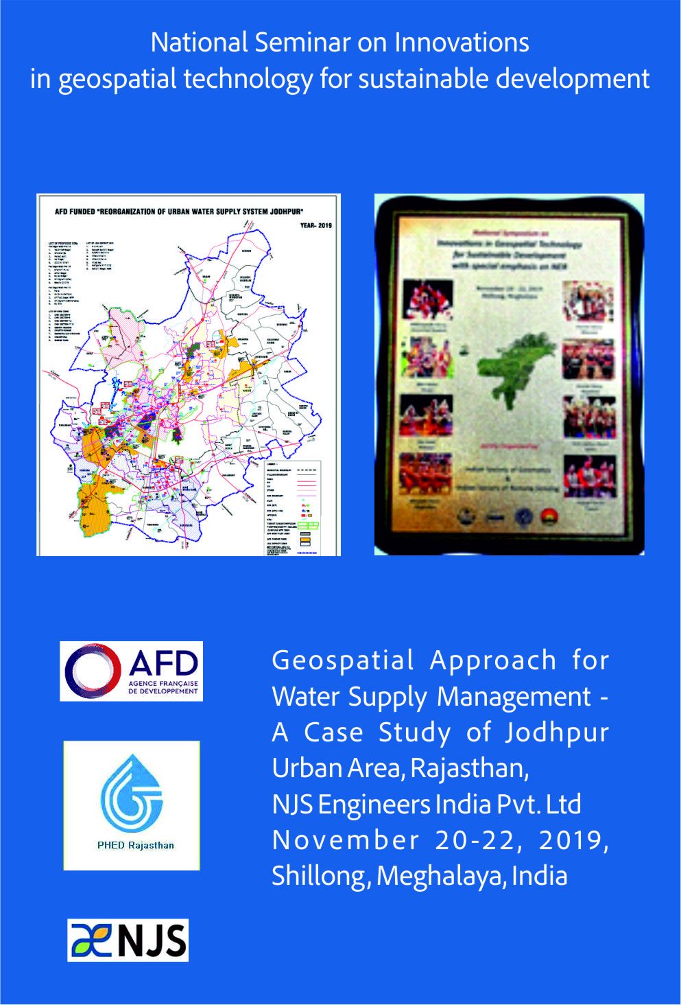
GEOSPATIAL SERVICES
The future of Wet Utility is already here!
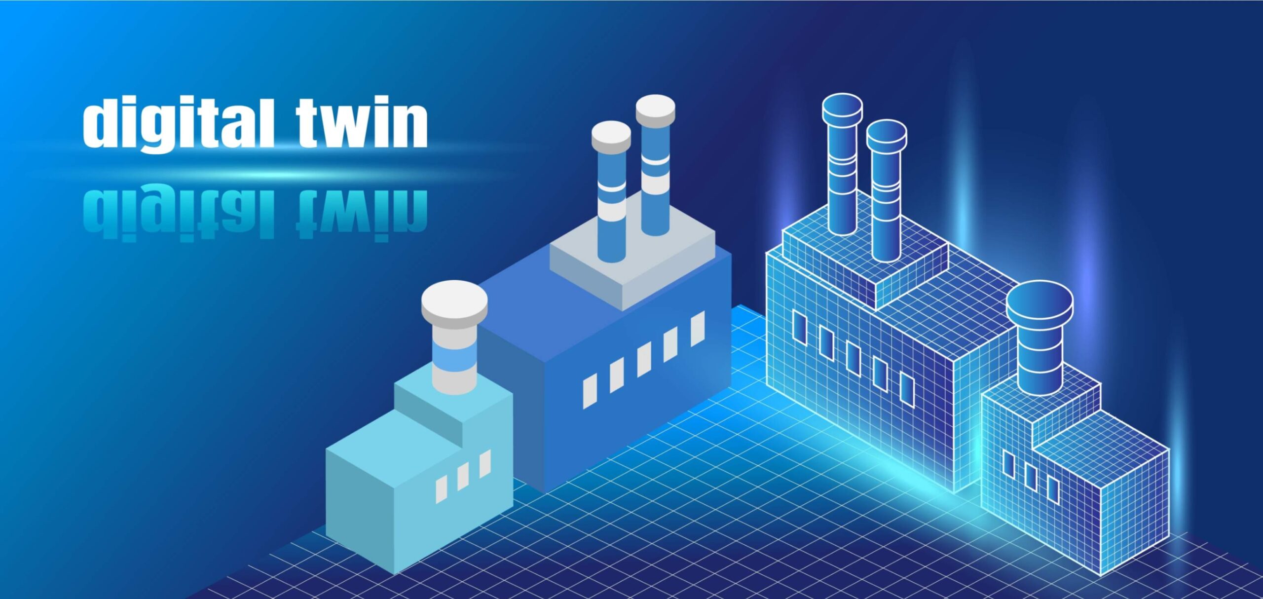
Today, forward-thinking drinking water and wastewater operators are implementing innovative “Geospatial Solutions”, many powered by digital twin technology, to drive transformation right across the water cycle – including wastewater networks, treatment plants and drinking water networks.
In wastewater management specifically, harnessing the power of digital twin technology to continuously improve operational performance is critical to building a treatment process that’s efficient, cost-effective, and future-proofed. The specialized services offered in this sector are
Innovations
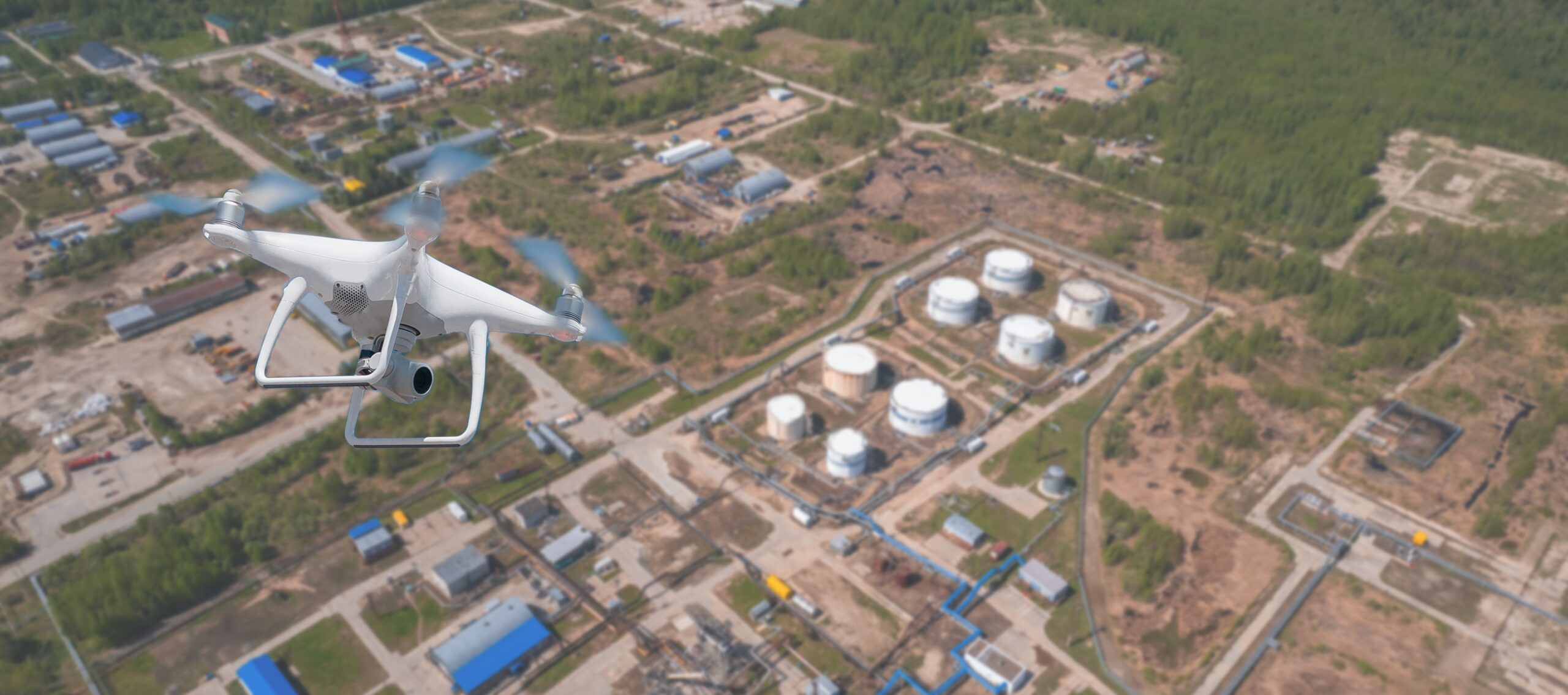
Our specific tie with Industry leaders provides extensive aerial mapping services and state-of-the-art UAV technology that benefit agencies while designing and analyzing existing social and environmental concerns.
Usage
We use high-end surveying drones equipped with advanced sensors that produce highly accurate 3D datasets, which shall be highly useful during Planning, Designing, Engineering, Construction and O/M Phases of any Wet Utility Project.
Services
- UAV Surveying and Mapping Services
- UAV data Processing
- High-resolution Satellite Imagery data acquisition from NRSC, Hyderabad
- Image Processing, ortho-rectification, Geo-referencing & Orthomosaic Maps
- Creative Aerial Content
- Volumetric Measurements
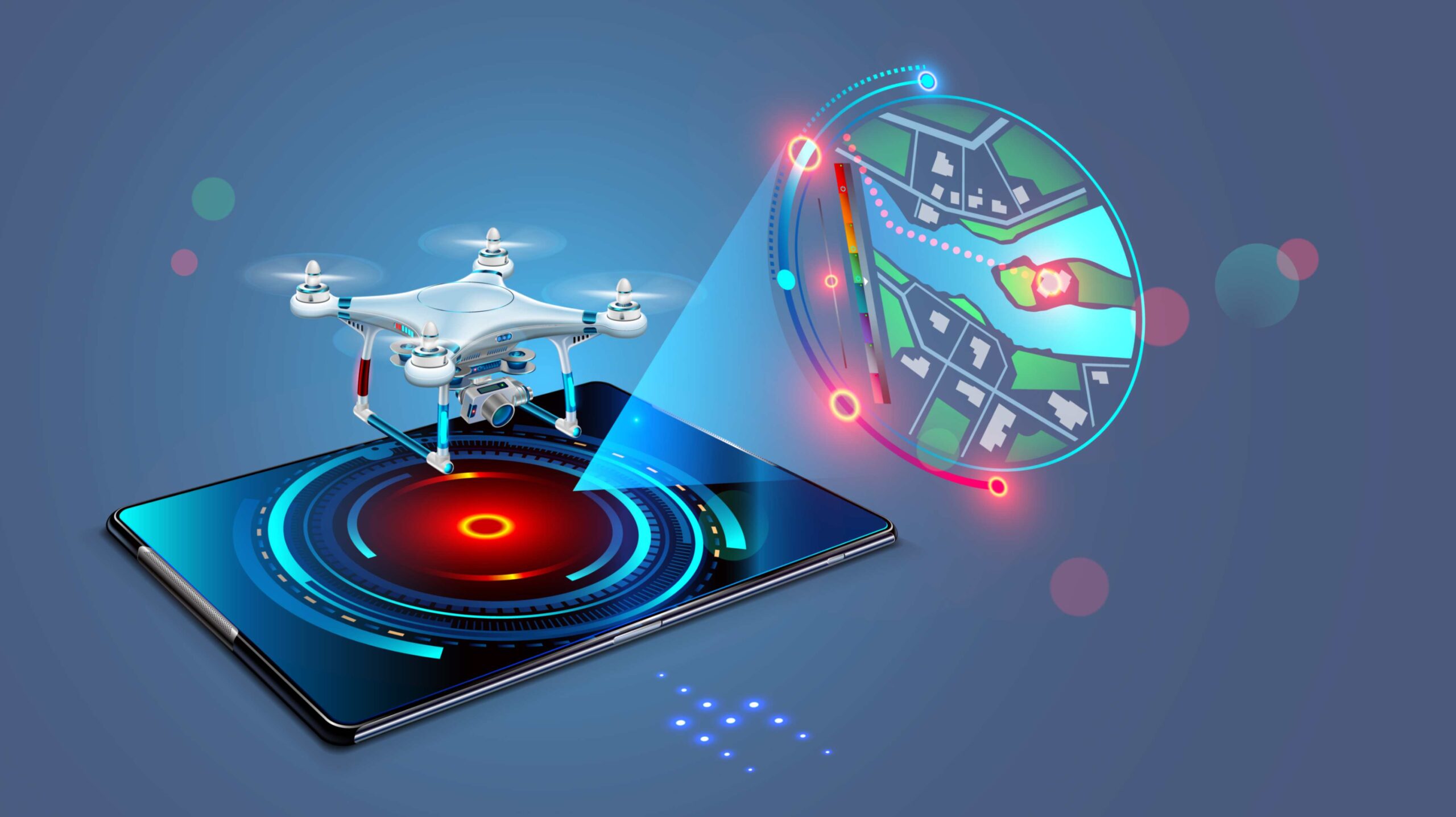
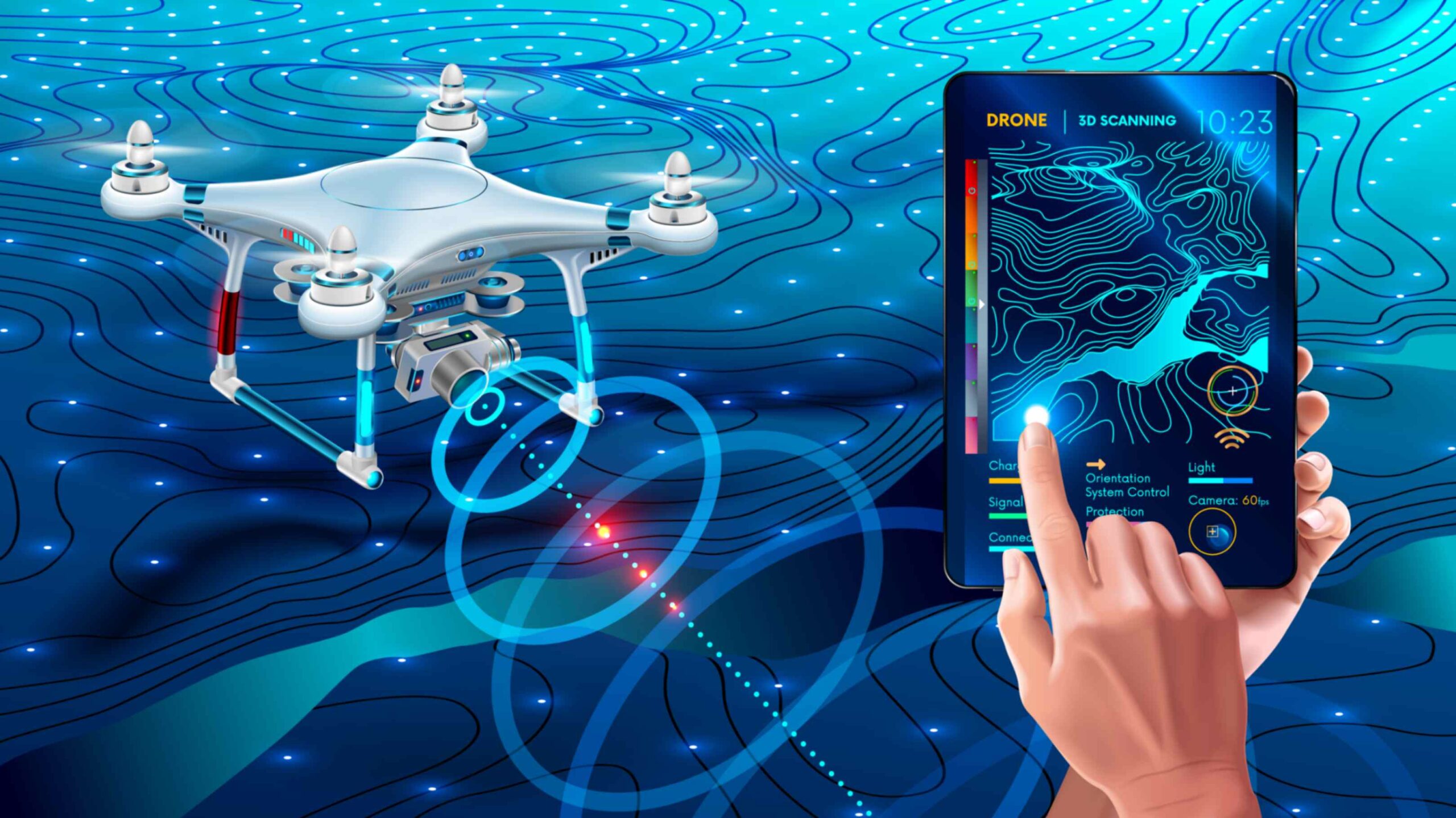
- We provide a Web/Mobile based application with set of tools for visualizing, measuring, analysis and storing UAV based raster & vector data.
Innovations
We capture, develop, manage, analyze, and share reality digital data on desktop/web/mobile or cloud platform to serve as a single source of truth to advance infrastructure workflows.
Usage
Turn reality data into real-world insights for our client’s digital twins to make informed decisions.
But it’s in creating digital twins for existing assets that our experience and pan-disciplinary capability really pay off.
Services
- Digital Twins for New & existing assets in connected environment
- Develop a digital twin for new projects on uniform GIS platform in parallel, using design information and simulation models to benefit planning, construction and the operational phases.
- For assets where detailed, up-to-date information and data is lacking, we move forward in steps, incrementally, starting with a small-use case to prove the digital twin concept, and building from there
Innovations
We use data science and location intelligence to discover insights and optimize design while visualization brings these ideas to life while sophisticated data management and powerful analytics make them real.
Usage
Intelligent water management and sustainable wastewater projects begins with “Geo-Analysis” integrated with Artificial Intelligence, Machine Learning and Deep Learning
Services
- Planning , design & Construction data integration
- Classification, Data Management and “Geo-Analysis” integrated with Artificial Intelligence, Machine Learning and Deep Learning
- Visualization and analytics
- Real World Modelling Services for Wet Utility project from production to customers
- Coordination and collaboration with a mobile-friendly technology platform.
- Analyze real time operational analytics through integration with Sensors & SCADA
