ENGINEERING SURVEY SERVICES
We provide efficient, economical, and sustainable solutions to our water, and wastewater infrastructure clients. We help our clients extend the service life of their existing wet infrastructure through our intense focus on asset management. It includes identification, inspection, condition assessment, and rehabilitation of water and wastewater infrastructure.
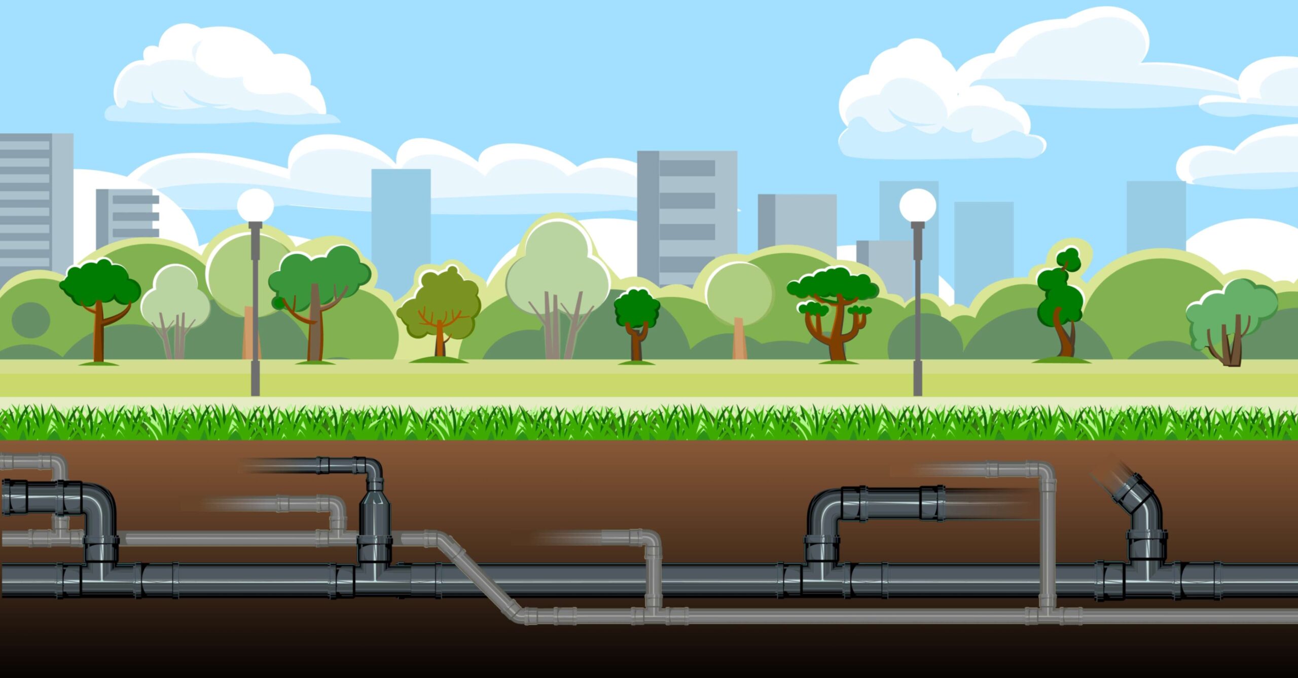
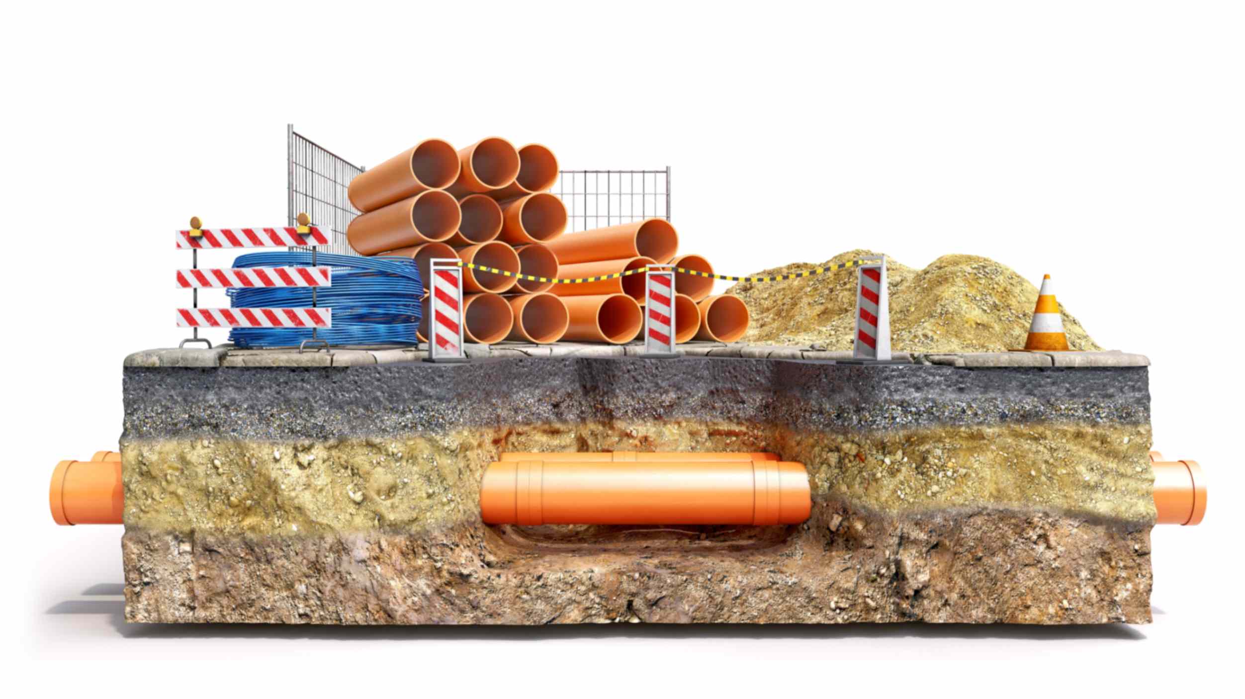
We provide consolidated complete solution to create detailed digital mapping with relevant attributes of underground utilities on the GIS platform. Our underground wet utility engineering surveys includes identification of buried assets with valuable attributes, which support to design, construction of new facilities and rehabilitation of existing facilities. The specialized services offered in this sector are
Innovations
Utility Surveys Services at NJSEI is a focused group works on the Subsurface Utility Engineering. We are experts in establishing the georeferenced position of utility infrastructure and accurately depicting that infrastructure.
Usage
Accurate Utility data in GIS format is provided to the project design team for designing purpose or O/M team for effective maintenance.
Services
- We are experts in establishing the georeferenced position of utility infrastructure
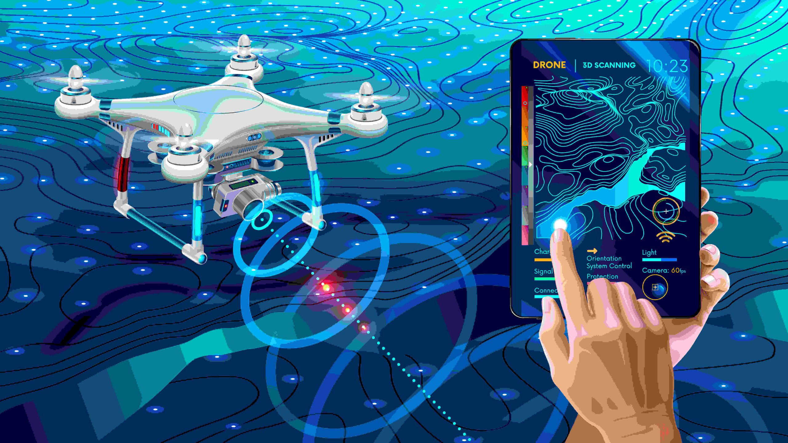
- We combine state-of-the-art geophysical, remote sensing, LiDAR, and survey technologies with supplemental technology tools to designate and depict utility infrastructure and develop professional CADD, GIS, and report submittals.
- Accurate and reliable 2D depictions and 3D models of utility infrastructure enable improved conflict analytics, designs, and construction planning.
- Project owners, designers, utility operators, and contractors can then collaborate to find resolutions to those conflicts that ensure safe, fast, and trouble-free construction well before groundbreaking begins.
Innovations
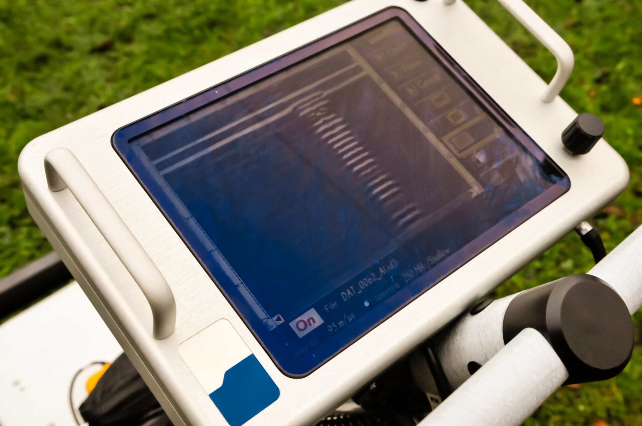
NJSEI with its partners offers a full range of non-intrusive utility detection which exploits the most advanced ground penetrating radar technologies and methodologies.
Usage
Whether it is for wet utility planning considering a major new investment or an o/m team looking to reduce costs, such technology offers vital information on subsoil conditions providing reliable data to assess safety conditions and avoid potential danger and risks.
Services
- Real time detection of buried utilities (pipes, valves, etc.) for excavation planning and damage avoidance.
- Utility relocation design, coordination and cost estimates.
- Pipes and utilities location on CAD/GIS Format.
- Subsurface Utility Engineering.
Innovations
NJSEI with its partners offers services for monitoring the health of wastewater pipeline networks, reducing Sanitary Sewer Overflows (SSO) while improving the health of urban waterways and public-health.
Usage
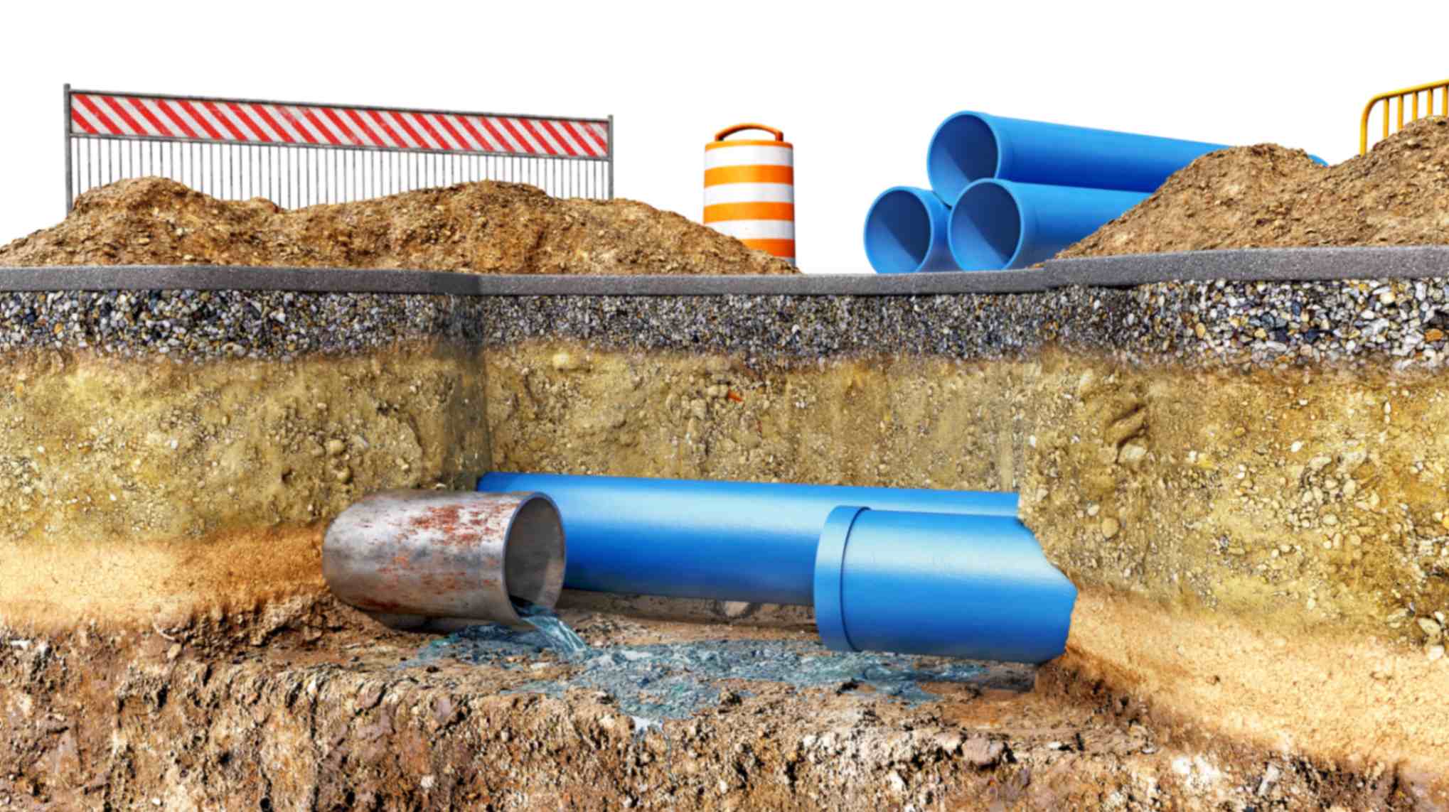
Get a report on the condition with costing & rehabilitation plan for wet utility buried, but “Valuable Assets”
Services
- AI-based Pipeline Inspection Services
- Water or Wastewater Surveillance through Robotics & IoT
